Wolds Way
Yorkshire
| Length | 79 miles (127 km) |
|---|---|
| Toughness | 3 out of 10. |
| Maps |
OS Explorer Maps : 293, 294, 300, 301 |
| Walk Notes |
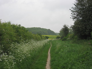
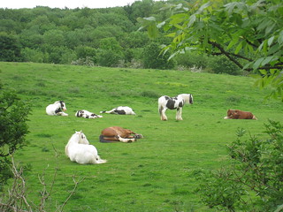
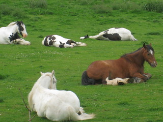
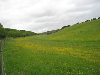
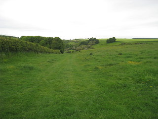
A gentle traverse of Yorkshire, from the Humber Estuary, north through Dales (valleys) and gentle rolling hills. It ends back on the coast where it links with the Cleveland Way. |
| Profile | |
|---|---|
| Help Us! |
After the walk, please leave a comment, it really helps. Thanks! You can also upload photos to the SWC Group on Flickr (upload your photos) and videos to Youtube. This walk's tags are: |
| By Car |
Start Hessle Map Directions Finish Filey Brigg Map Directions |
| Amazon | |
| Help |
National Rail: 03457 48 49 50 • Traveline (bus times): 0871 200 22 33 (12p/min) • TFL (London) : 0343 222 1234 |
| Version |
Apr-24 |
| Copyright | © Saturday Walkers Club. All Rights Reserved. No commercial use. No copying. No derivatives. Free with attribution for one time non-commercial use only. www.walkingclub.org.uk/site/license.shtml |

