Richmond Park walk
London's largest deer park


| Start | Richmond station. |
|---|---|
| Finish | Richmond station. |
| Length |
7.6 km. |
| Time | 2 hours |
| Travel | District, London Overground and National Rail. Richmond is in Travelcard Zone 4. |
| Walk Notes |
to do Options
|
| Eat |
Refreshments: The Roebuck, 130 Richmond Hill, TW10 6RN T: 020 8948 2329 - serves food until 22:00. |
| Profile | |
|---|---|
| Help Us! |
After the walk, please leave a comment, it really helps. Thanks! You can also upload photos to the SWC Group on Flickr (upload your photos) and videos to Youtube. This walk's tags are: |
| By Car |
Start Richmond Map Directions |
| Amazon | |
| Help |
National Rail: 03457 48 49 50 • Traveline (bus times): 0871 200 22 33 (12p/min) • TFL (London) : 0343 222 1234 |
| Version |
Apr-24 DAC |
| Copyright | © Saturday Walkers Club. All Rights Reserved. No commercial use. No copying. No derivatives. Free with attribution for one time non-commercial use only. www.walkingclub.org.uk/site/license.shtml |
Walk Directions
The directions for this walk are also in a PDF (link above) which you can download on to a Kindle, tablet, or smartphone.
OpenStreetMap (not OS) mapping is used in the PDF for licence reasons.
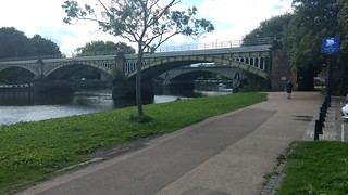
- Coming out of Richmond station, turn left for 40 metres to cross over the main road (The Quadrant) via a pelican crossing and continue straight down an alleyway. In 40 metres at a T-junction with Parkshot turn left. After 70 metres you reach the corner of Little Green, which you cross in a diagonal direction along a tarmac path, your direction west. After 100 metres cross over a road, to continue in the same direction diagonally across Richmond Green. Half way across the Green where the path forks, take the right hand fork towards the far corner of the Green. At the far corner of the Green, turn half right to go down Old Palace Lane. After 300 metres at a T-junction with the Thames Path, turn left along the bank of the Thames, following the Thames Path.
- In 2.2km ignore a left turn over a wooden bridge (signposted Ham House and Gardens), to then turn left after a further 80 metres, towards the main entrance of Ham House Gardens, which you reach after 100 metres. If not visiting Ham House, turn left just before the entrance, along a grass path (with the moat and railings of Ham House on your right). After 80 metres at the corner of Ham House Gardens, turn right (passing through some concrete bollards), along a car wide track (with the 3 metre high brick perimeter wall of Ham House on your right). After 250 metres at a path junction, turn left along a tree lined path, your direction 70º.
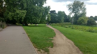
- In 600 metres (immediately before a Lodge House), fork left onto a minor road for 40 metres, to reach a T-junction with Petersham Road. Turn left to follow this main road for 200 metres, to reach Saint Peter's Church on your left. (Captain George Vancouver is buried in the churchyard.) In a further 100 metres (just before the road curves up to the left), cross over to go through a tall black metal gate into Richmond Park. After 20 metres turn half-left up a broad green path, in a south easterly direction. In 350 metres go through a high metal gate, and fork left to follow the path round and up to the right to reach The Mound. From here there is a view of St. Paul’s Cathedral, 16km to the east. To the west there are views over the Thames Valley.
Walk Map
© Saturday Walkers Club.
All Rights Reserved. No commercial use. No copying. No derivatives. Free with attribution for one time non-commercial use only.
www.walkingclub.org.uk/site/license.shtml
